Drone Photogrammetry
Our Drone Scanning Team Is Ready To Fly
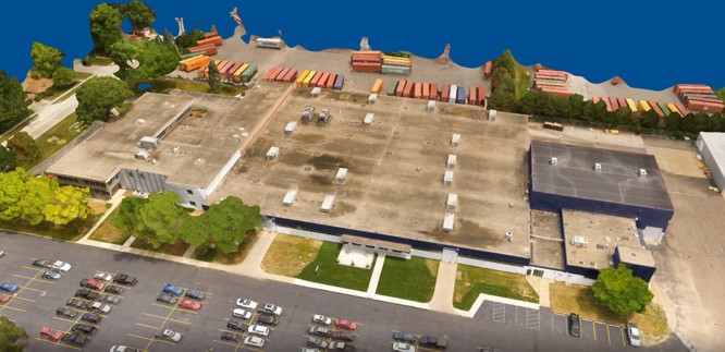
Design Systems, Inc. provides an aerial solution that is tailored to your project and software used by your company. Our certified pilots use their talents for capturing our customer’s objectives. We can document a new land development site, construction progress, current business site, inspect towers, stacks, roofs and much more. This service provides cost effective way to get the information you need.
The DSI Advantage
Our breadth of industry experience:
- Capture and convert the data to a point cloud for engineering
- Provide inspection photos or video for comparison, and a health assessment report
- Preventive maintenance identifies problems before they impact your bottom line
- Site planning – where to build and how much site prep required
- Monitoring stockpile volumes for construction
- Reduce costs by using a drone to capture easily damaged roofs and other sensitive areas
- Faster and cost-effective data acquisition, especially over large sites and for repeated surveys